Mapping
Fixed-wing long-range airframes with survey-grade RTK. Map 800 acres a flight. Export GeoTIFF, LAS, DSM.
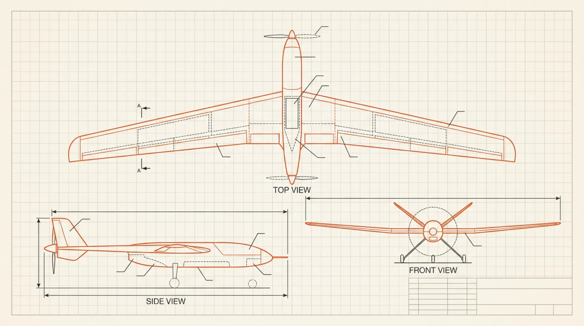
A map is only as good as the sensor that captured it and the flight that carried the sensor. Four things decide the machine:
Fixed-wing airframes cover large areas per battery because wings lift more efficiently than props; multirotors win for small sites, vertical faces, and tight takeoffs. Describe the site and DRONA picks the form factor with the numbers to justify it.
Ground resolution comes from the camera and flight altitude; positional accuracy comes from the positioning system. The airframe's job is to carry that sensor package steadily, and DRONA sizes it around exactly that.
Photogrammetry wants constant speed, altitude, and overlap. A design with honest endurance and stable cruise is what turns a flight plan into a usable dataset.
Survey programs re-fly the same sites. The complete parts list, wiring plan, and build guide mean the same validated aircraft can be rebuilt or duplicated for a second crew.
You describe the job the way you would to an engineer:
"A fixed-wing mapping drone with a 24 MP camera and RTK positioning for farm-scale surveys."
DRONA answers with a complete design: airframe, propulsion, battery, flight controller, and the camera payload, validated for physics, priced from live listings, and rendered in 3D.
Area versus detail: fixed-wing covers far more hectares per flight; a multirotor maps small sites, facades, and stockpiles with easier takeoff and landing. DRONA designs both, so describe the site and compare.
The camera and altitude set ground resolution; the positioning quality (RTK-class receivers, ground control points) sets absolute accuracy; the processing happens in your photogrammetry software. The aircraft's contribution is carrying the sensor stably, which is what DRONA validates.
Yes. DRONA designs the aircraft; the camera produces standard imagery that any mainstream photogrammetry pipeline accepts.
What you describe
DRONA translates a description of the work into a complete, compatible, priced airframe. Validated. Flyable. Yours.